
hitching posts and a water trough.
for nearly 2 miles through rugged and at times, steep trails through woodlands.
Figueroa, and Pena Trails junction.


(I'm slow... and often stop to take pictures.)
Go to Calero Trails Index.
Winter Green Trails Calero County Park |
||||
|
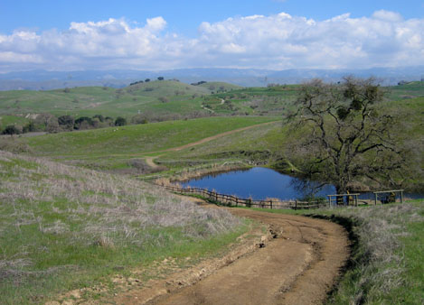
||
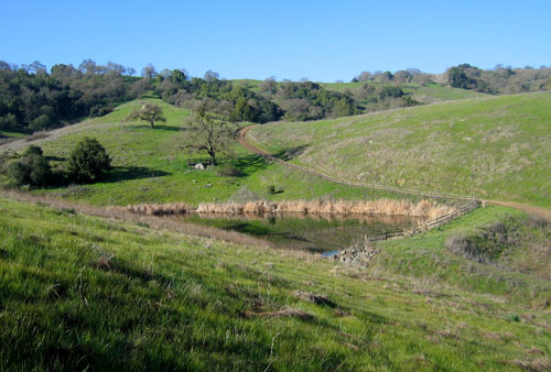
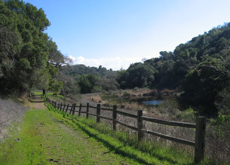
| View of Los Cerritos Pond from Figueroa Trail. | ||
|
||
| View of hillside oaks lining the trail. | ||
|
||
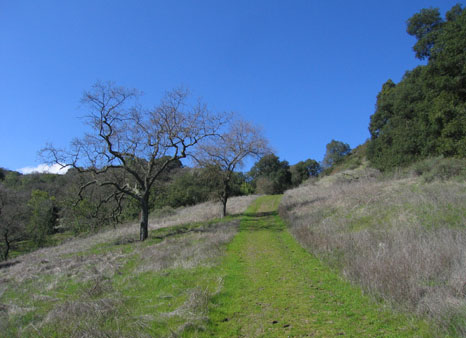
| Trail is fairly level through woodlands for a little over a mile. | ||
|
||
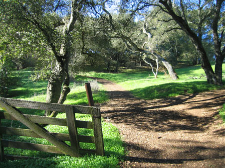
| Entrance to the Javelina Loop trail. | ||
|
||
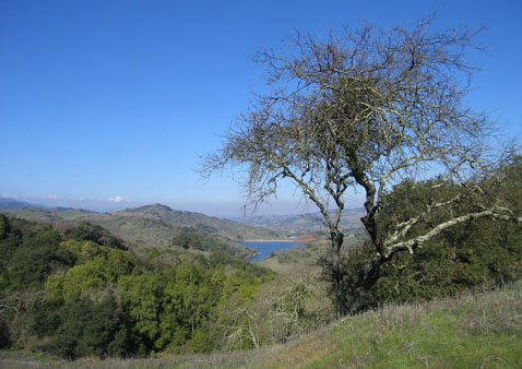
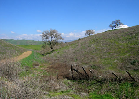
| Distant view of Cherry Cove. | ||
|
|
|
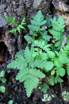
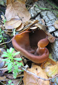
| Trailside native fern, fungus, and young oak tree. | ||
|
||
| The Javelina Trail loop is approximately 2.5 miles. | ||
|
||
| A favorite view on the way to Fish Camp. | ||
|
||
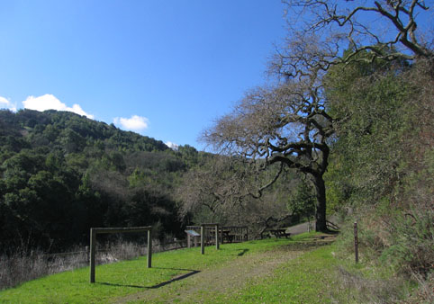
| Fish Camp includes a wildlife viewing platform, picnic tables, hitching posts and a water trough. |
||
|
||
| First time trail users reaching this spot may want to retrace their steps. | ||
|
||
| Javelina Trail Loop makes a steep climb after leaving the pond and then winds for nearly 2 miles through rugged and at times, steep trails through woodlands. |
||
|
||
| In contrast, it's a fairly level .7 mile walk back to the Javelina, Figueroa, and Pena Trails junction. |
||
|
||
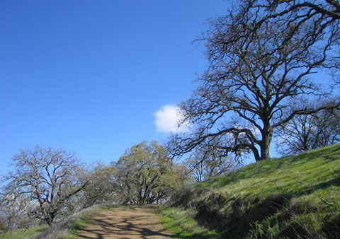
| Through some of the prettiest scenery in the park. | ||
|
||
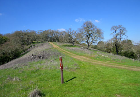
| At the 3-trailhead junction, the Pena Trail climbs .4 mile to a high ridge. | ||
|
||
| It's a steep climb and can be exhausting on hot summer days. | ||
|
||
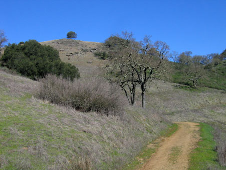
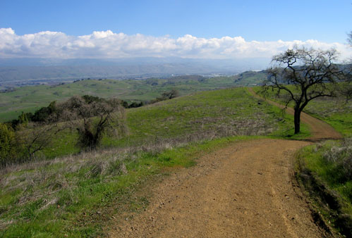
| Ridge top views make the climb worthwhile. | ||
|
||
| View east below the summit of the Pena Trail. | ||
|
||
| The Pena Trail passes the trail marker for the Vallecito Trail Cutoff. | ||
|
||
| Trail very steep in places -- but at least it's downhill. | ||
|
||
| View east along the Pena Trail as it nears the Los Cerritos Trial junction. | ||
|
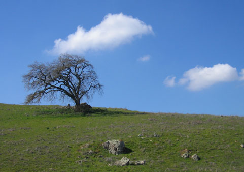
||
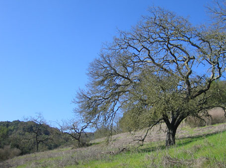
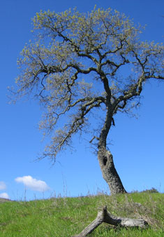
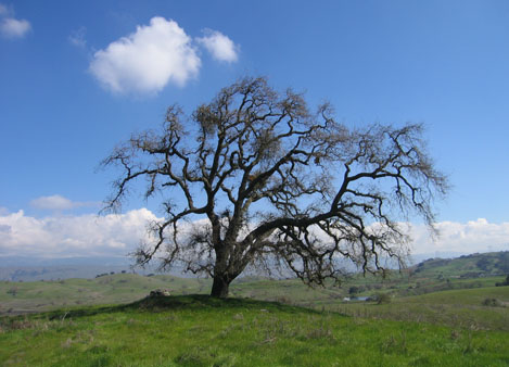
| Distant view through the branches of a winter-bare oak. | ||
|
||
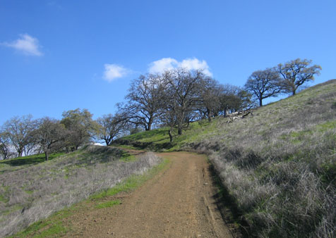
| Well-traveled stretch of the Los Cerritos Trail. | ||
|
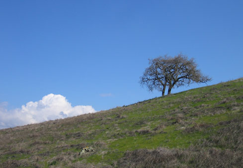
||
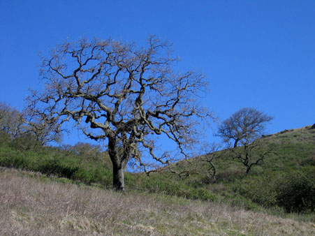
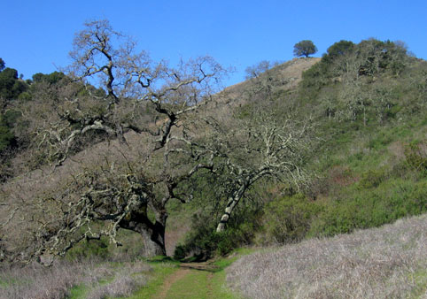
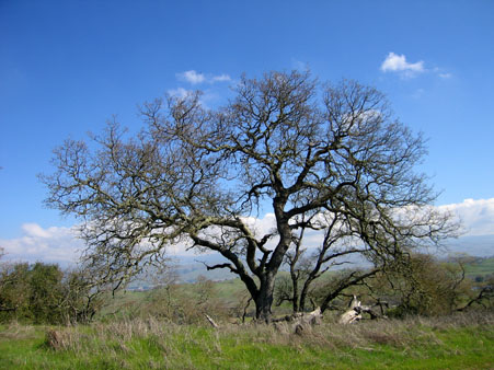
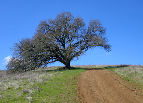
| A favorite and much photographed pair of hillside oaks. | ||
|
||
| Nearing Los Cerritos Pond. | ||
|
||
| Give yourself 2.5 hours to follow the 4.9-mile trail route pictured here. (I'm slow... and often stop to take pictures.) |
||
| Return to Top. | Go to Calero Trails Index. |
|