 |
| The preserve has large areas of rock-strewn serpentine soil. |
 |
| The serpentine soil layer is thin and lacking in nutrients. |
 |
| Only the hardiest trees and shrubs can survive in such poor soil. |
 |
| But by mid-March, serpentine areas are carpeted with wildflowers. |
 |
Big-berry Manzanita, a tree-sized native shrub,
thrive in small, dense groves at Rancho San Vicente. |
 |
| Black-tailed deer like these are often seen grazing on its grassy hillsides. |
 |
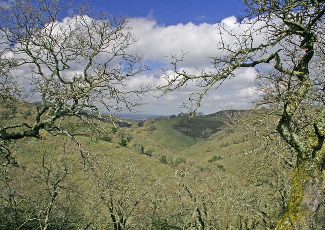
The massive serpentine-rock spine, at about
10 o'clock in this photo, shows its volcanic origin. |
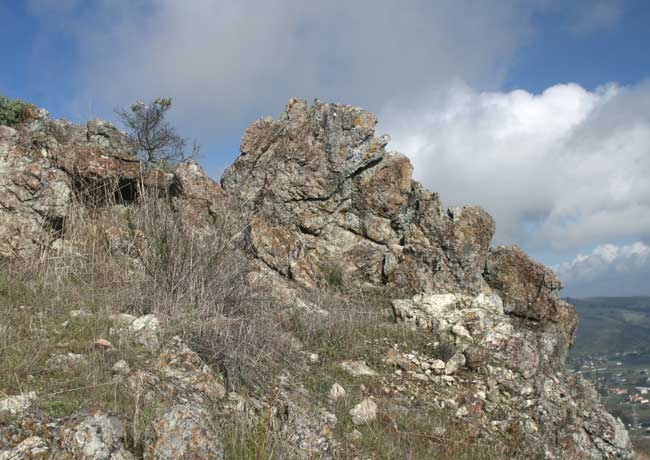 |
| Serpentine is igneous rock, born of fire deep in the earth's magma core. |
 |
Pressures along the earth's tectonic plates forces liquid serpentine upwards
through fissures along fault lines to the surface where exposed it hardens. |
 |
Areas with the highest amounts of serpentine
often produce spectacular wildflower displays. |
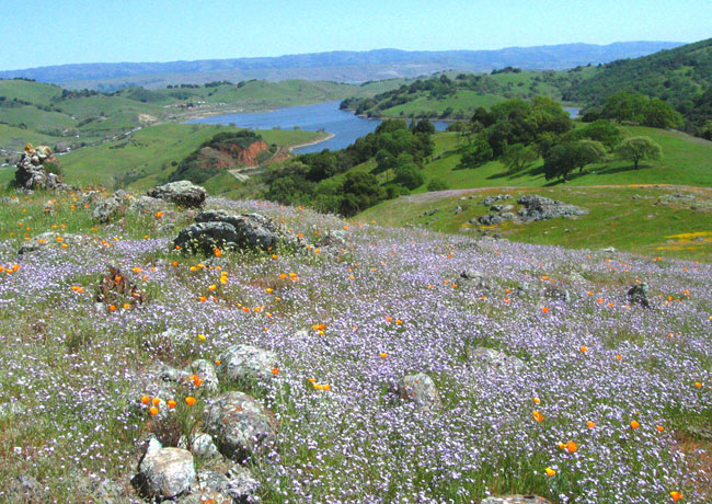 |
| Photo taken 26 March 2010, Rancho San Vicente. |
 |
| We start to see the first spring wildflowers in mid-February. |
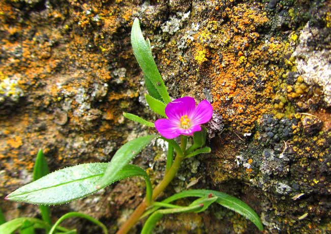 |
| On grassy hillsides, especially in areas of serpentine, tiny Red Maids bloom. |
 |
| A series of dirt roads wind their way through sections of Rancho San Vicente. |
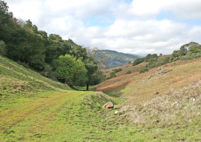 |
| North and south-facing slopes in this canyon illustrate topo-climate areas. |
 |
North-facing slopes hold more moisture,
hence they are more hospitable for vegetation. |
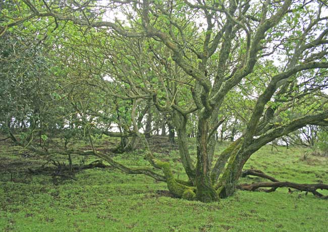 |
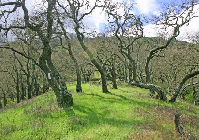
| A north-facing hillside clothed in moss-embellished Coast Live Oak. |
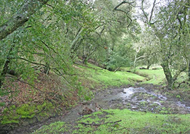 |
Down canyon, run off from recent rains
turned this area into a soggy morass several feet wide. |
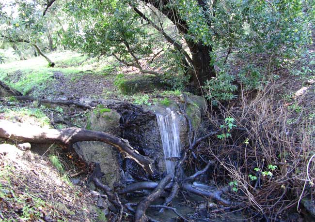 |
| A small waterfall spills over a stone bank as it flows down canyon. |
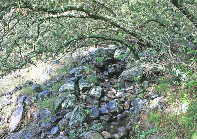 |
| On drier, south-facing slopes, serpentine rock seeps like this one are common. |
 |
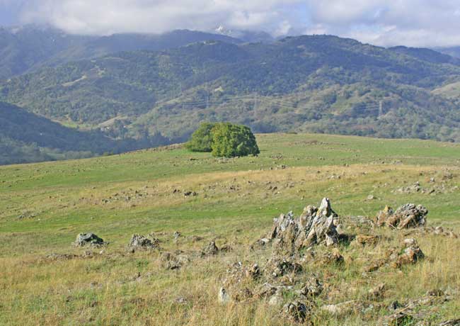
| Groves of Coast Live Oaks crown hillsides throughout the preserve. |
 |
Near a lower boundary of the preserve, a side road
heads up a narrow canyon towards a distant ridge. |
 |
| The canyon is drained by tiny creeks and run off from small stock ponds. |
 |
| The grassy trackway climbs gradually uphill. |
 |
| With increased elevation, the scenery gradually changes. |
 |
| Water from a hidden spring bubbled over the exposed rock in foreground. |
 |
Not a strong hiker, I appreciated the gentle route
the road took to reach this spot on the ridge top. |
 |
We were within sight of a boundary dividing
Rancho San Vicente from Calero County Park. |
 |
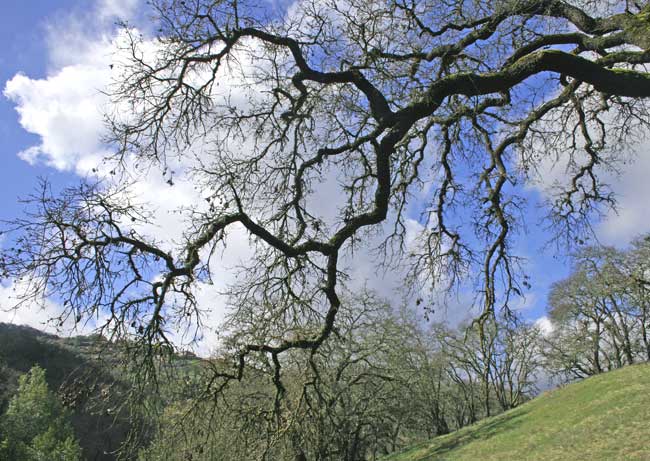
The grassy trackway continues over
the
ridge directly beneath this tree's limb-archway. |
 |
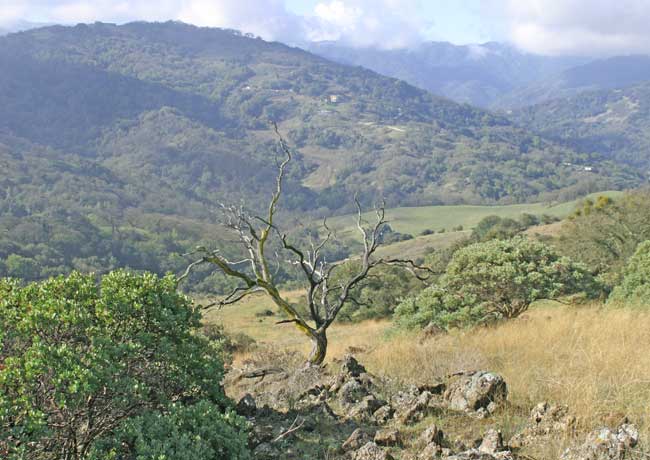
| Moving beyond forest areas into more open grasslands. |
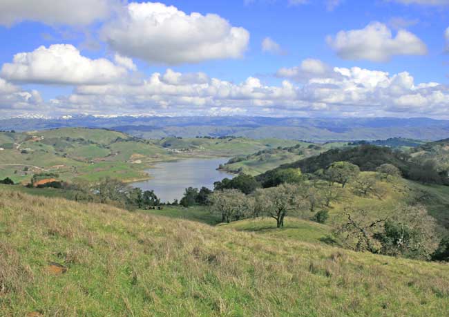 |
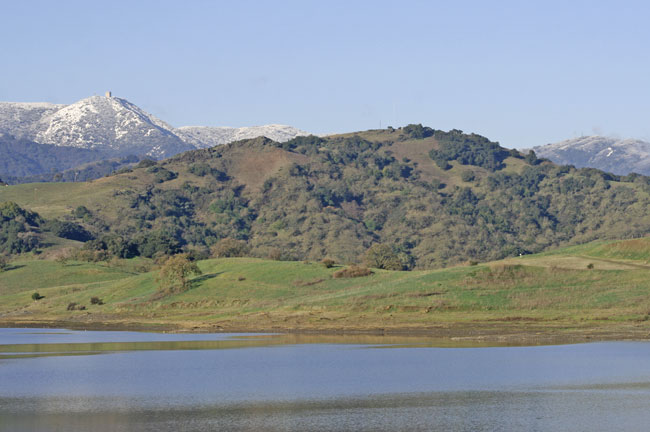
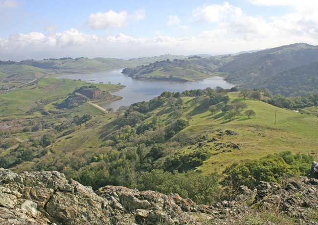
| Distant view of Calero Reservoir and adjacent Calero County Park. |
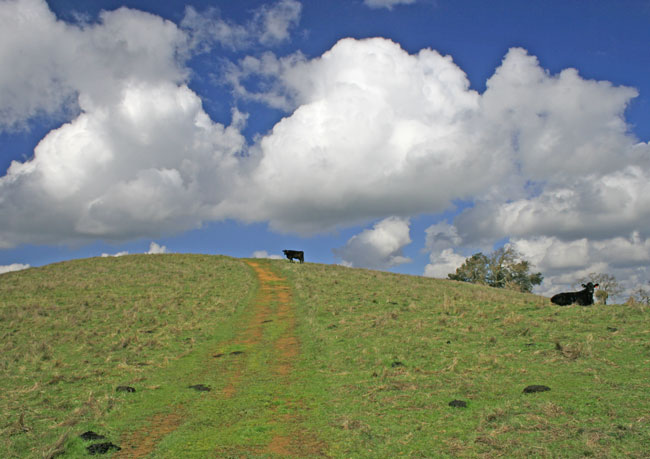 |
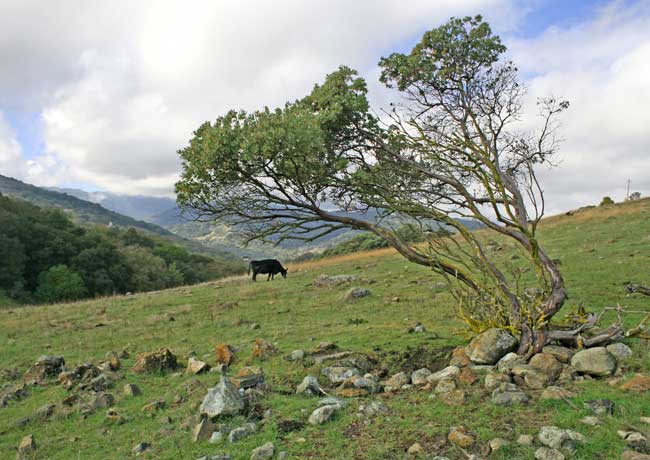
| Cattle enjoying the warmth of the sun on an open, grassy hilltop. |
 |
Cattle grazing is beneficial. Cattle prefer nutrient-rich
non-native
grasses to less tasty native species.
NOTE: State law mandates the maximum cow/calf per acre
ratio to ensure pasture lands are not over grazed. |
 |
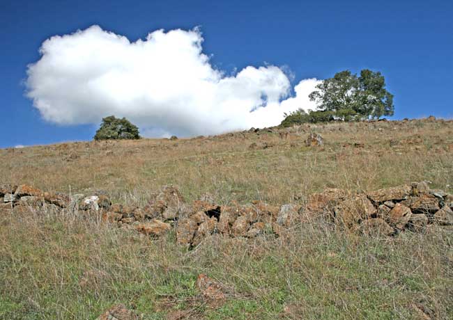
| In the distance what looked like an old stone wall. |
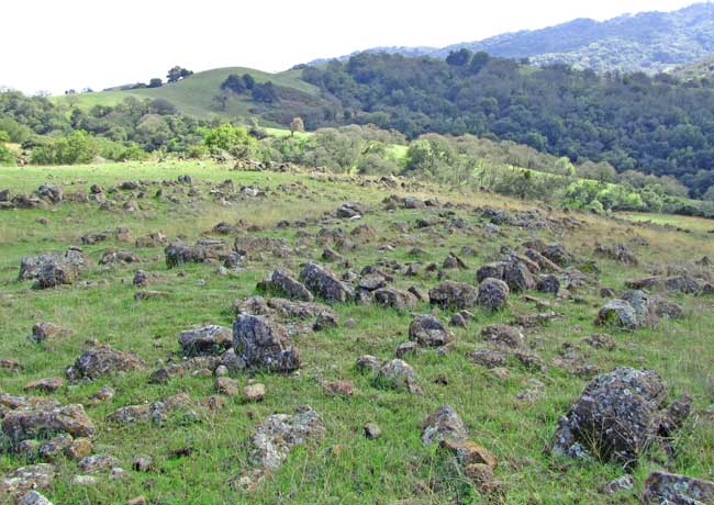 |
In serpentine areas looks can be deceiving.
These are row upon row of natural outcroppings. |
 |
| Following the slope downhill, the old stone wall came into view. |
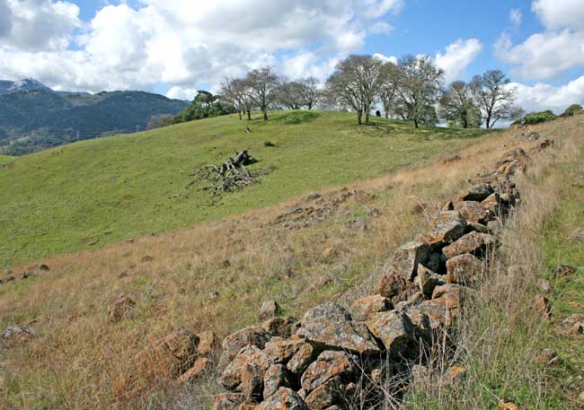 |
| Section of old stone wall, looking west towards Almaden Valley. |
 |
| A simple barrier or boundary line, maybe 3 feet at its highest. |
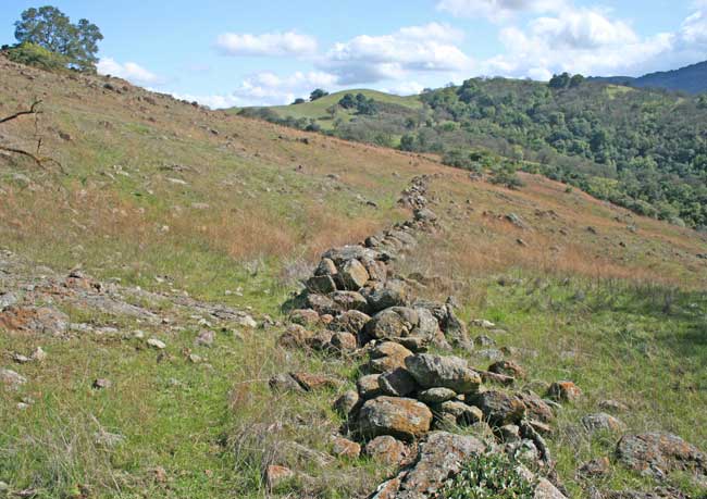 |
Looking east, towards the ridge top where
we were standing when we first caught sight of the wall. |
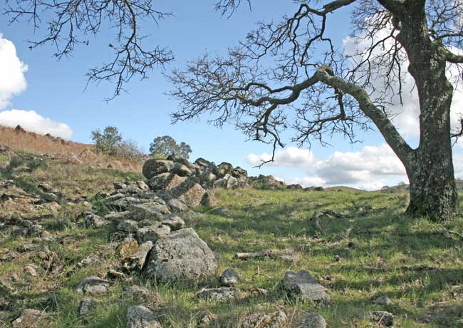 |
The stone wall ends in a small grove of trees that may
not have been growing when the wall was built. |
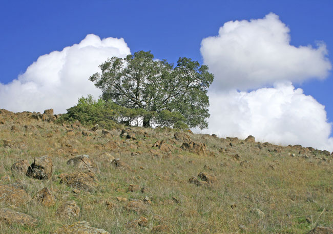 |
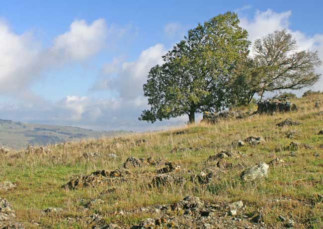
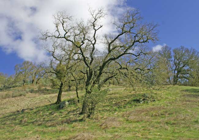
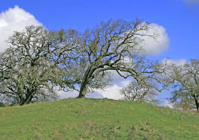
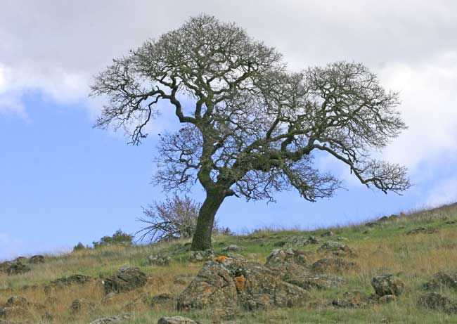
| A solitary oak on a ridge strewn with serpentine. |
 |
| Like these deer, it was time we too beat-feet out of the area. |
 |
| Go to ParkHere.org for more information on Rancho San Vicente. |
| Return to Top. |